RTOPO 3.3 |
|
|
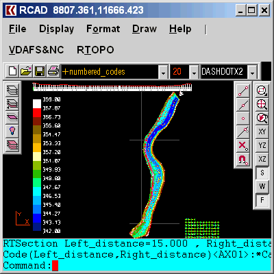
Simple, powerful and inexpensive CAD software for surveying. You can do triangulation, isolines, color-filled contour maps, sections, intersections, volume and much more. You can process hundreds of thousands of points or triangles, even on less powerful PCs. Through its own CAD system (called RCAD), specialized for 3D and for a large number of entities, you can: -load and draw a file of points having the format: Number X Y Z Code; the...
|