HidroSIG 3.1.1.beta2 |
|
|
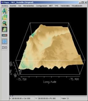
HidroSIG is a GIS that supports raster and vectorial maps with modules oriented to the hydrological analysis, time series, remote sensing and more. It has been made 100% in java using VisAD for data visualization and using MySQL to storage all data.
|