Transnavicom Satellite Map of Zurich 1.0 |
|
|
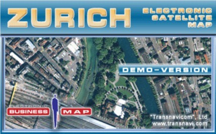
Demo-version of Satellite Map of Zurich is an example of how a person living in a megapolis today can use space technologies. A Quick Bird satellite shot is used as the cartographic basis. Face the reality! Your dreams are coming true with satellite maps from Transnavi.com. In the demo-version you can get acquainted with a district of Zurich; the following basic functions are available.
|