GPS2CAD 3.1 |
|
|
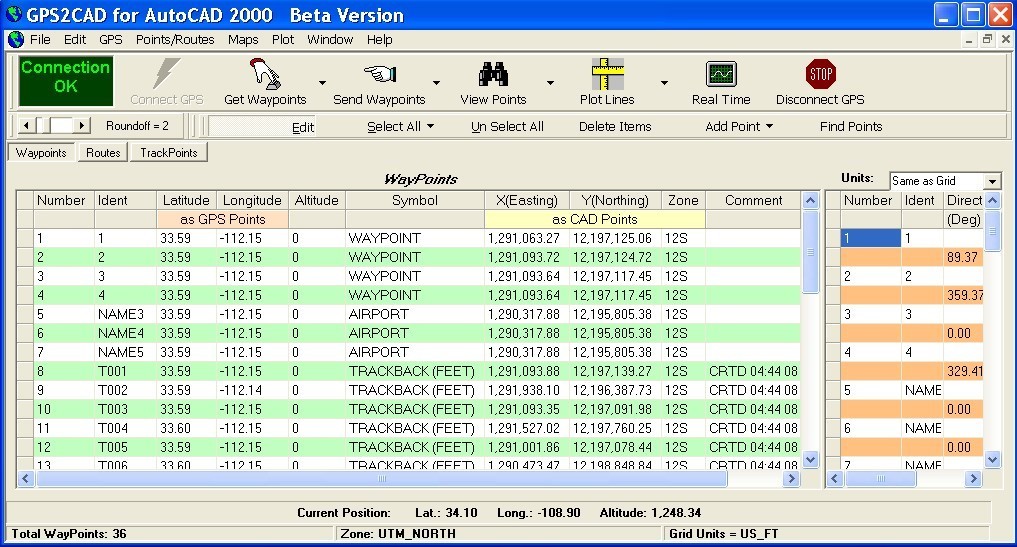
Allows you to connect your hand held Global Positioning System (GPS) unit to your computer, download your waypoints, and plot them in AutoCAD or export them in .dxf Also plots the points on free public domain Aerial photos and topo maps. Works on most Garmin and Magellan GPS units, and AutoCAD 14, through 2005.Converts to most popular datums including NAD 27, NAD 83 and State Plane Coordinates. Exports to text files and Access files.
|