Geodaten German Topo 2.04 |
|
|
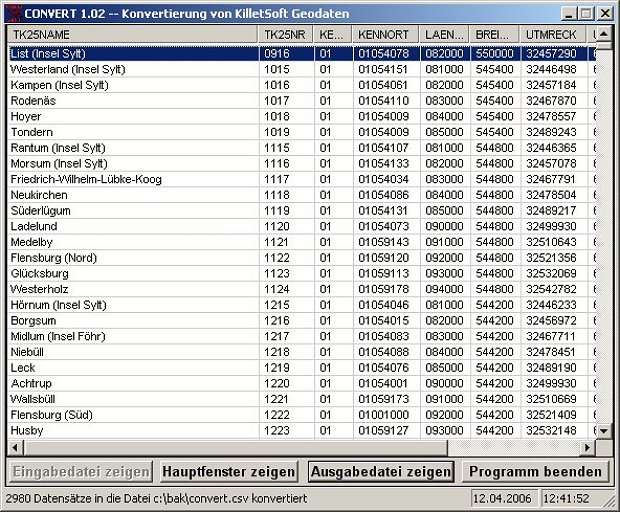
A volume of data with map names, map numbers, corner coordinates and completing data of all official topographic maps of the Federal Republic of Germany. TK25: Data base table with data of the maps on a scale 1:25000. TK50: Table with data of the maps on a scale 1:50000. TK100: Table with data of the maps on a scale 1:100000. TK200: Table with data of the maps on a scale 1:200000 (TKUe200, General map). First the data base tables are present...
|